Reliable Utility Locating & GPR Scanning Services Throughout West Virginia
Professional Private Utility Locating, Utility Marking, GPR & Concrete Scanning, Underground Utility Mapping, and GPS/GIS Mapping Services Across West Virginia
ABOUT US
Reliable
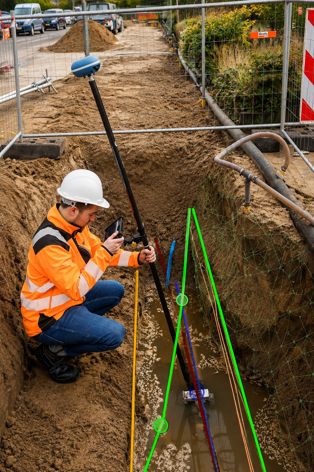
We provide professional utility locating and mapping services across West Virginia, helping contractors, property owners, engineers, and project teams identify underground utilities before excavation or construction begins. Our services include private utility locating, utility marking, GPR scanning, concrete scanning, underground utility mapping, and GPS/GIS utility mapping, with a focus on accurate field information and dependable project support.
At Utility Locating & Mapping West Virginia, we understand that underground infrastructure can be complex and difficult to identify without the right equipment and expertise. Our team uses modern utility detection, ground penetrating radar, mapping, and positioning technologies to help locate and document underground infrastructure while reducing uncertainty during planning and excavation. We work to provide clear, useful information that supports safer and more efficient construction projects.
Whether you are planning a new development, performing excavation, completing site investigations, or documenting existing infrastructure, our utility locating and mapping specialists are ready to help. We serve clients throughout West Virginia with practical solutions tailored to each project, delivering detailed locating and mapping services designed to help you make informed decisions before work begins.
Our Services
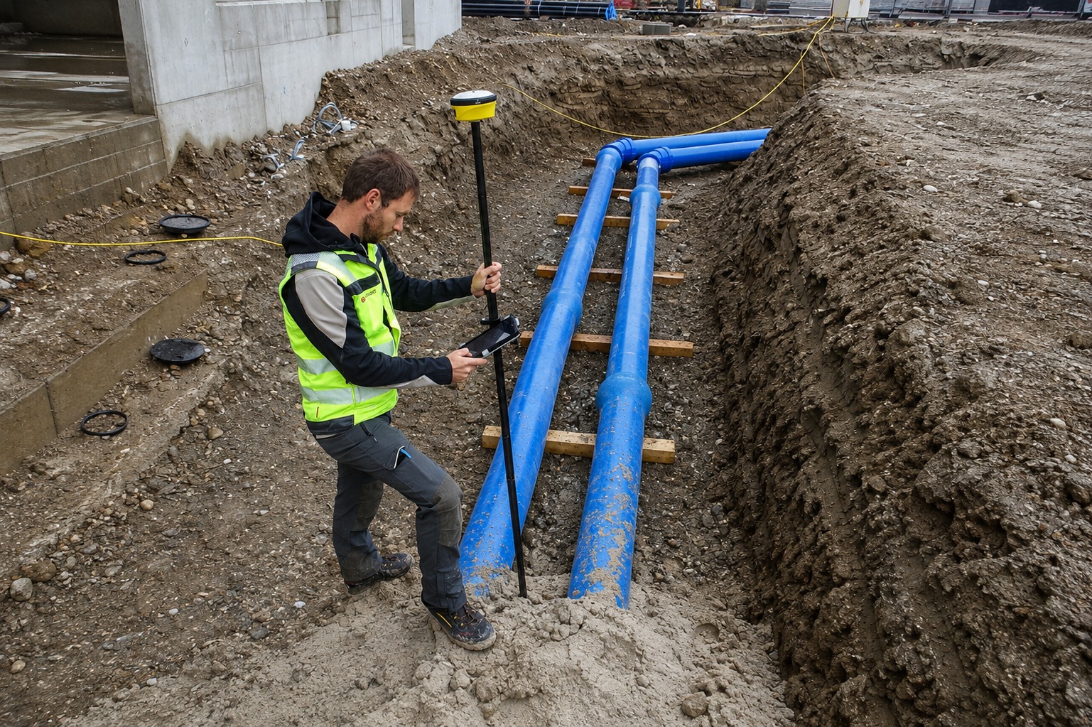
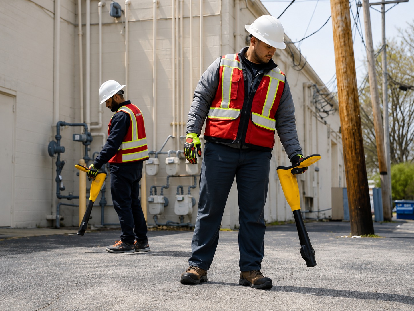
Accurate private utility locating services to identify underground lines before excavation, construction, or site development projects.
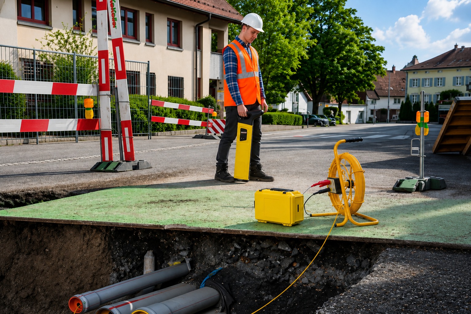
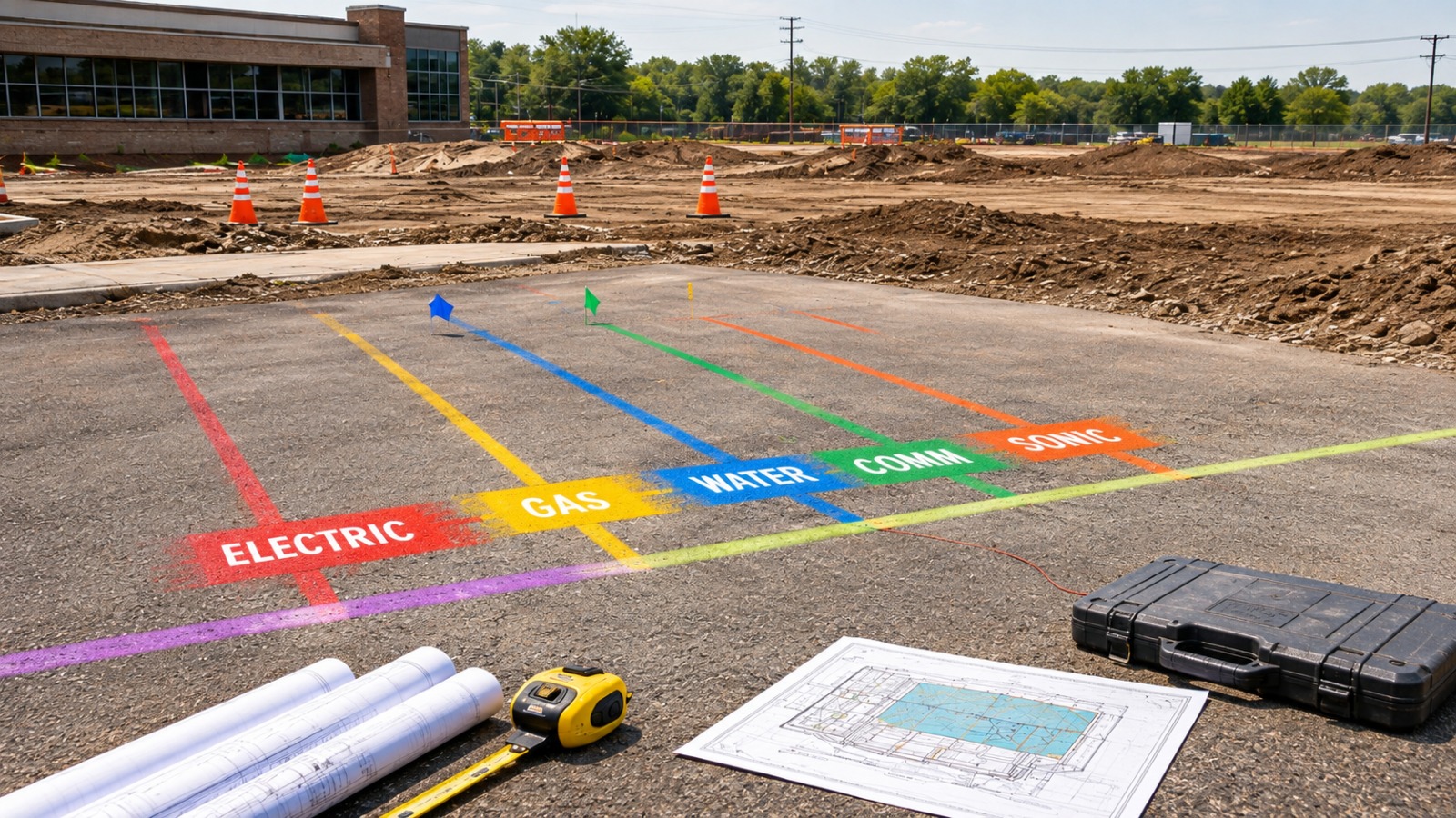
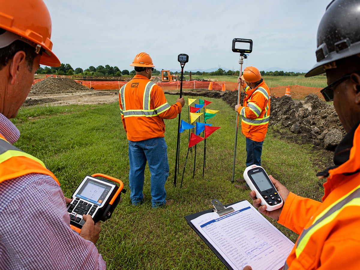
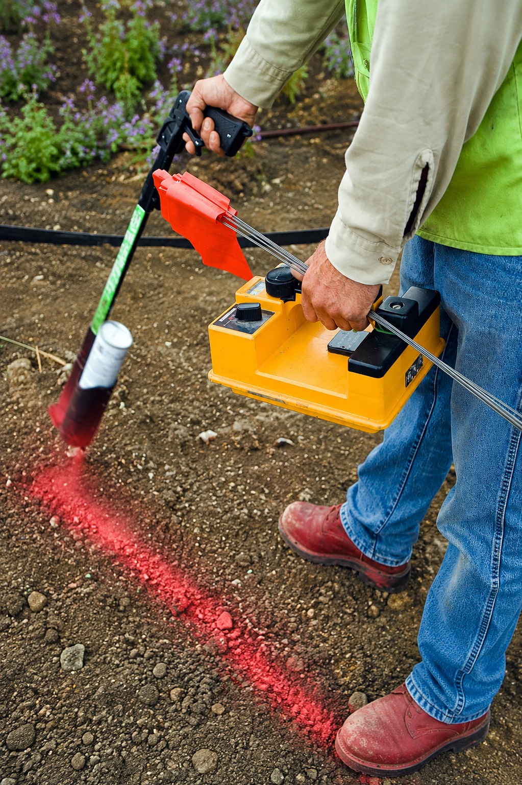
Professional utility marking services that clearly identify underground lines, helping crews excavate safely and reduce the risk of utility damage.
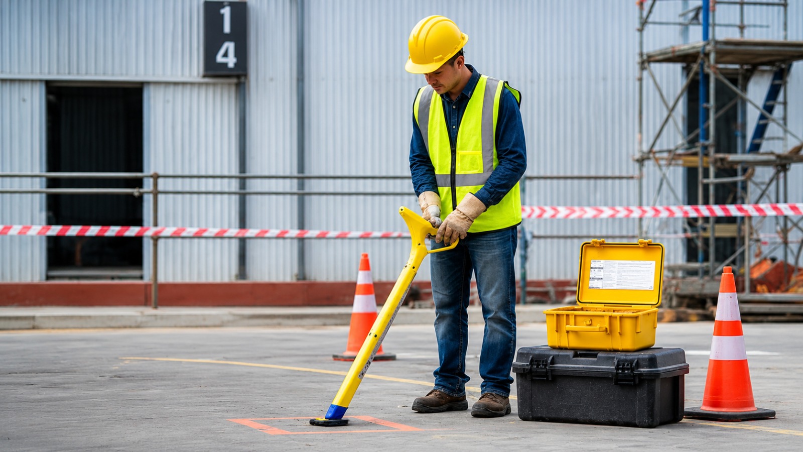
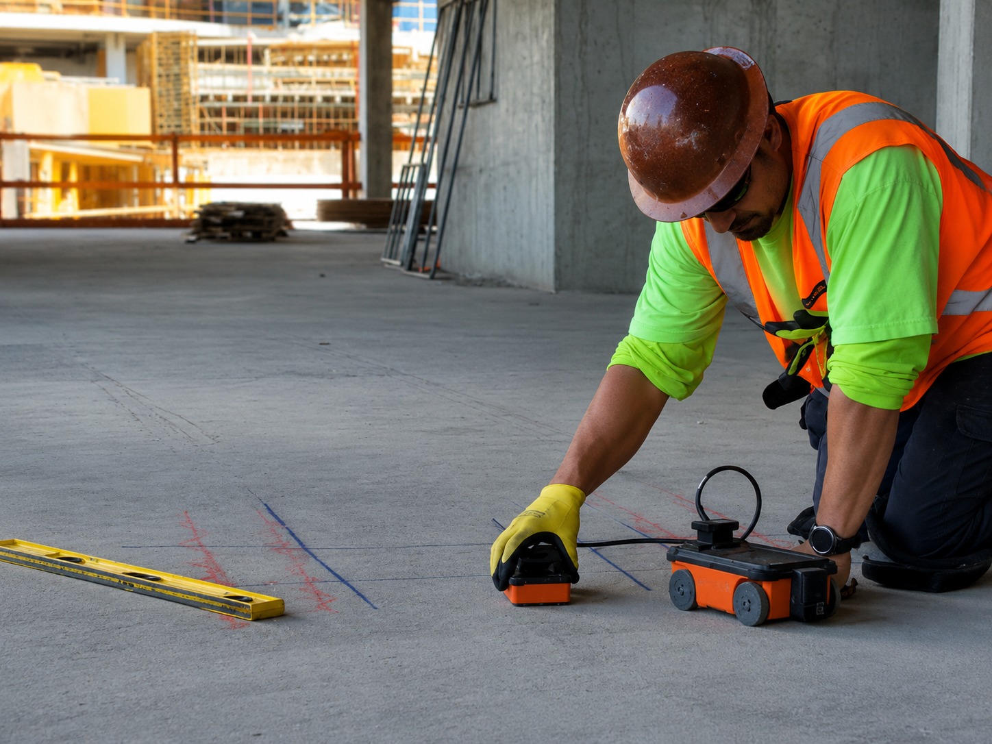
Reliable concrete scanning services using advanced technology to detect rebar, conduits, and embedded utilities before drilling or cutting.
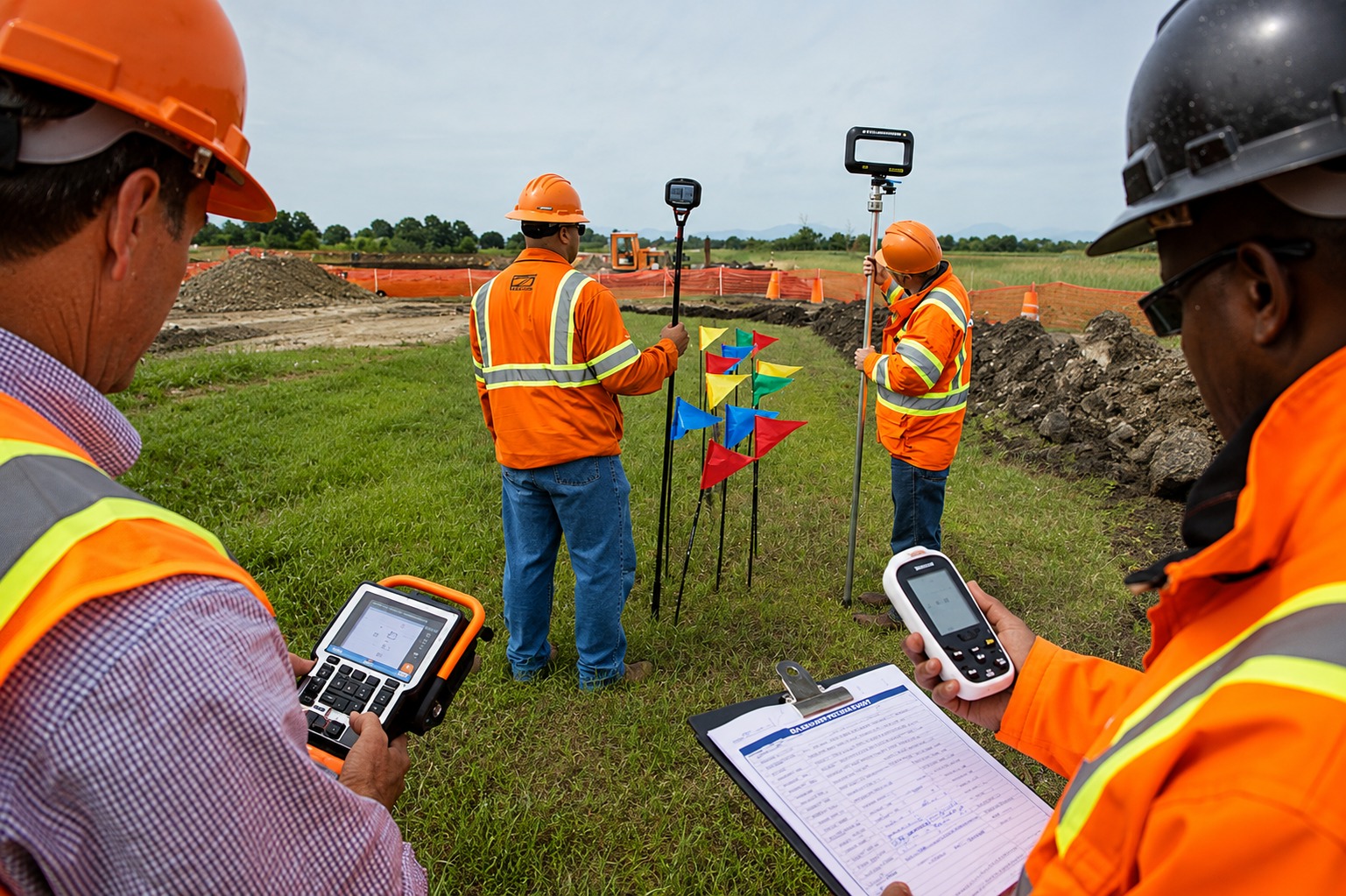
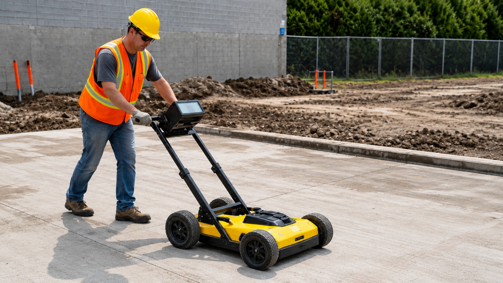
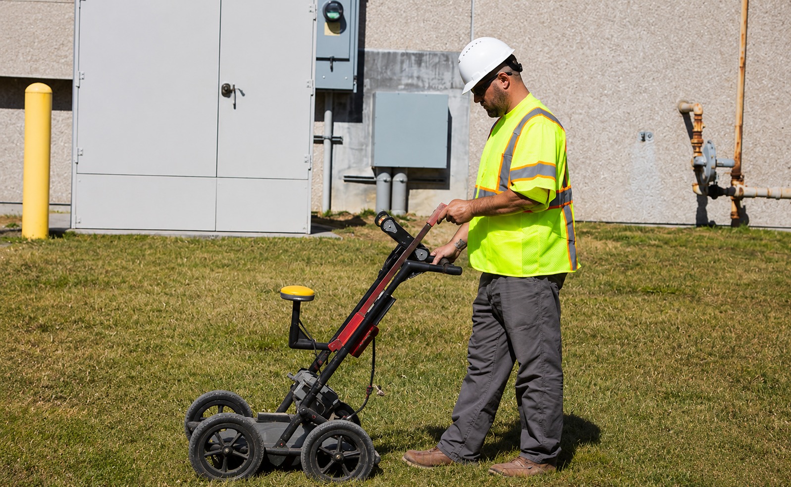
Advanced ground penetrating radar services to detect underground utilities, structures, voids, and other subsurface features with precision.
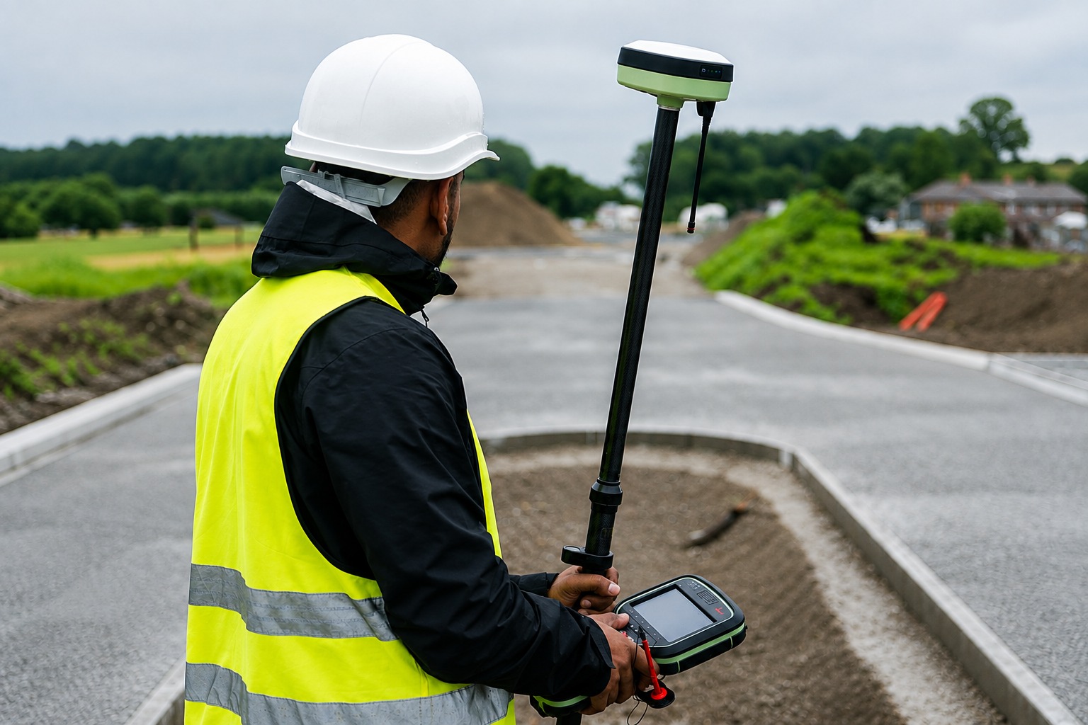
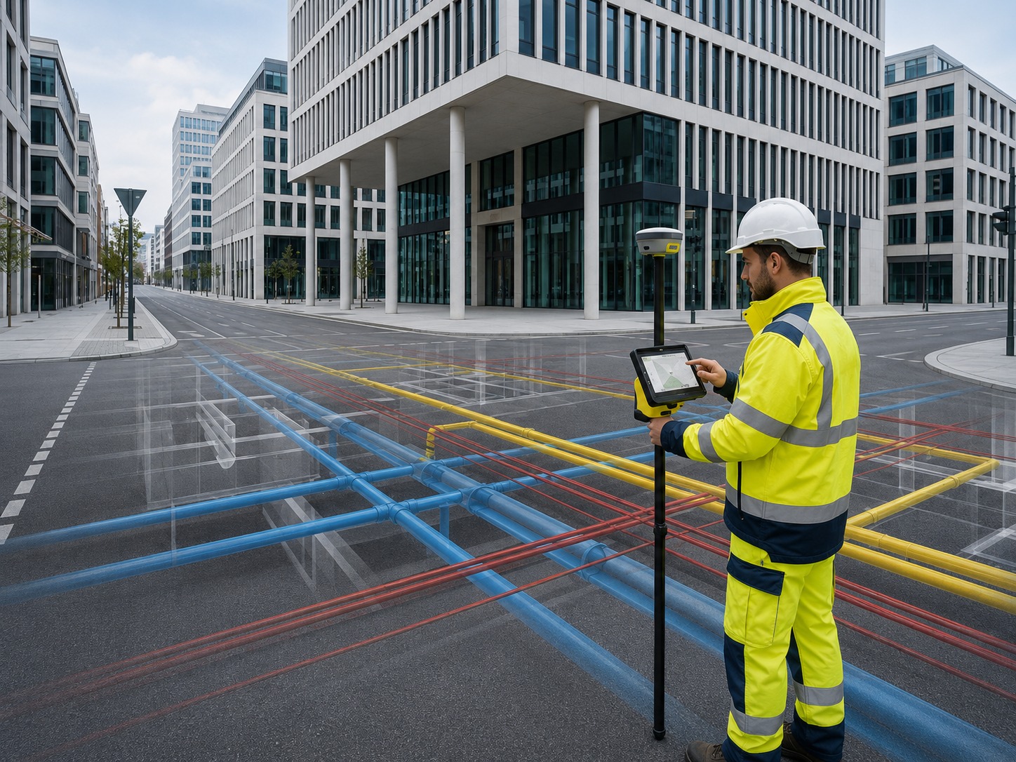
Detailed underground utility mapping services that document subsurface infrastructure to support safer planning, excavation, and construction.
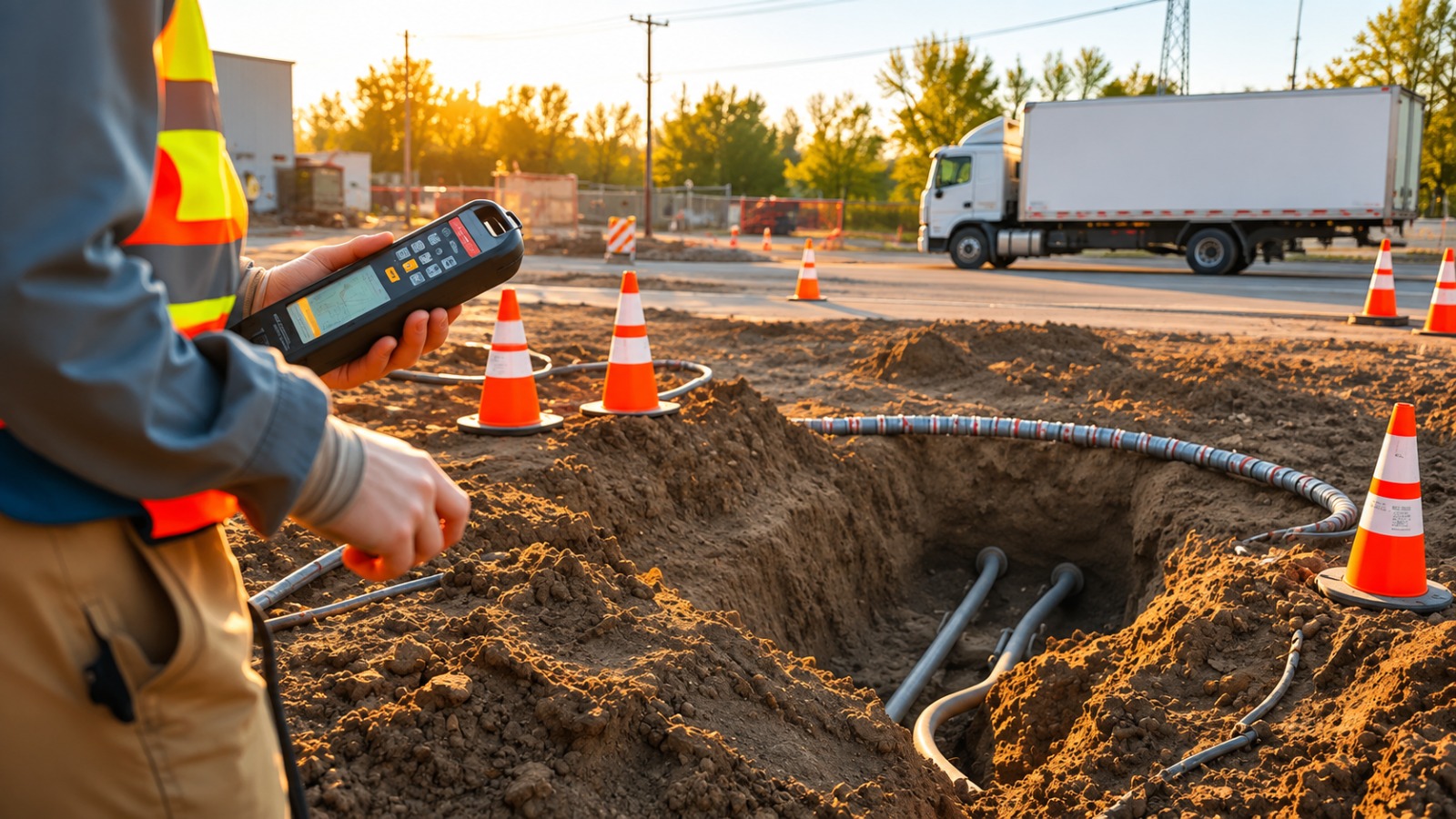
Accurate GPS/GIS utility mapping services that create organized digital records of underground infrastructure for planning and asset management.
The Process
Our Simple 3 Step Process

Contact Us
Start by completing the 'Get a Free Quote' form on our website to share your needs with us so we can take care of you.

Schedule Your Estimate
Next, we'll arrange a property visit at a time that works for you to provide an in-person estimate for your needs.

Get The Job Done
After you approve our estimate, we'll schedule a date to complete the job. Our team will work hard to exceed your expectations!
photo gallery
See Why Our Customers Love Us
Our Service Area?
Charleston
Huntington
Morgantown
Parkersburg
Wheeling
Martinsburg
Beckley
Fairmont
Clarksburg
St. Albans
South Charleston
Vienna
Bluefield
Moundsville
Elkins
Bridgeport
Buckhannon
Princeton
Lewisburg
Charles Town
Hurricane
Teays Valley
Nitro
Dunbar
Oak Hill
Grafton
Keyser
Romney
Philippi
Weston
Spencer
Logan
Williamson
Point Pleasant
Ripley
Ravenswood
Summersville
Fayetteville
Sutton
Webster Springs
Petersburg
Moorefield
Berkeley Springs
Hinton
Welch
Mullens
Shinnston
Salem
West Union
Harrisville
Kingwood
Parsons
Richwood
Glenville
Sistersville
Paden City
New Martinsville
St. Marys
Weirton
Weston
Our Reviews
What Our Customers Have to Say About Us!
Excellent experience from start to finish. The team was professional, responsive, and provided accurate utility locating information that helped keep our project moving safely and efficiently.

We were very impressed with the utility mapping services. Everything was clearly explained, the team arrived on time, and the detailed information made our excavation planning much easier.
Great service and very professional team. They helped us identify underground utilities before our construction work began, giving us much more confidence and peace of mind throughout the project.
FREQUENTLY ASKED QUESTIONS
What utility locating services do you provide in West Virginia?
We provide private utility locating, utility marking, GPR scanning, concrete scanning, underground utility mapping, and GPS/GIS utility mapping services. Our solutions help identify and document underground infrastructure for construction, excavation, development, and site planning projects.
Why should I locate underground utilities before excavation?
Underground utility locating helps identify buried lines before digging begins, reducing the risk of accidental utility strikes, costly repairs, project delays, and potential safety hazards. Accurate locating information allows contractors and property owners to plan excavation work with greater confidence.
Do you provide Ground Penetrating Radar (GPR) scanning services?
Yes, we provide Ground Penetrating Radar (GPR) scanning to help detect subsurface features such as underground utilities, concrete structures, voids, and other buried objects. GPR can provide valuable information for construction and investigation projects where traditional locating methods may not be sufficient.
Can you create detailed maps of underground utilities?
Yes, our underground utility mapping services help document the location and layout of subsurface infrastructure. We can use advanced mapping and positioning technologies to create organized utility information that supports construction planning, excavation, engineering, and future site reference.
How accurate are your utility locating and mapping services?
Our utility locating and mapping services use modern detection, scanning, and positioning technologies to provide detailed information about underground infrastructure. Accuracy can vary depending on site conditions, utility materials, depth, accessibility, and other factors, but our goal is to deliver reliable data for informed project planning.
Request A Free Quote
BUSINESS
SERVICES
SERVICE AREAS
OPERATING HOURS
Sun: Closed
Mon: 7:00am - 7:00pm
Tue: 7:00am - 7:00pm
Wed: 7:00am - 7:00pm
Thu: 7:00am - 7:00pm
Fri: 7:00am - 7:00pm
Sat: 7:00am - 7:00pm